carNAVi map details
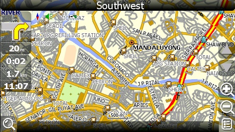
carNAVi does a lot researches to create an easy to use ergonomic design on the units. Here are just some impressions of carNAVi’s map design:

Watch a short video of a guided route to have an impression how it works:
Preinstalled are detailed maps of the Philippines, Malaysia and Singapore. Maps for most other countries in SE Asie are available free of charge in the carNAVi Store.
In some areas, the map might not be as perfect yet though. The good thing is, you can help to change that by reporting map errors directly to us.
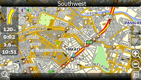
See some original screenshots, i.e. Makati City in 500m zoom level:

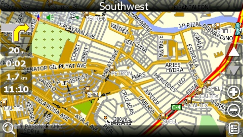
Makati City in 300m zoom level.

While following a route carNAVi automatically zooms between 2km down to 30m level, depending on your speed or if there’s an upcoming turn. (option is user configurable)
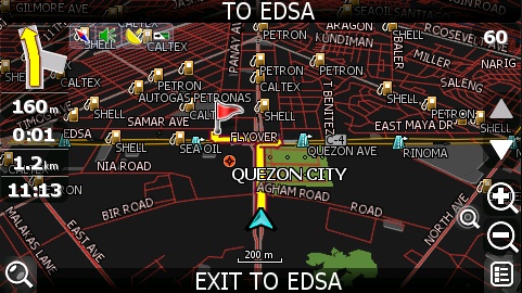
carNAVi offers 2D and 3D view, while using 3D view, tunnel and flyover are really displayed in 3D (Philippines only), look at the EDSA/SLEX junction:

While following a route, carNAVi is turning the map always in your driving direction. This function is set by default, but of course users can change as they like to display the map in “north up”!
To prevent blending of the driver the display switches automatically to night view:

Night view is switched on depending on the daytime. Also while driving in a tunnel carNAVi switches automatically to night mode.
Want to learn more about how to navigate? There’s an article here which explains how to enter a street name or search for POI’s, means Points of Interests like gasoline stations or restaurants.

